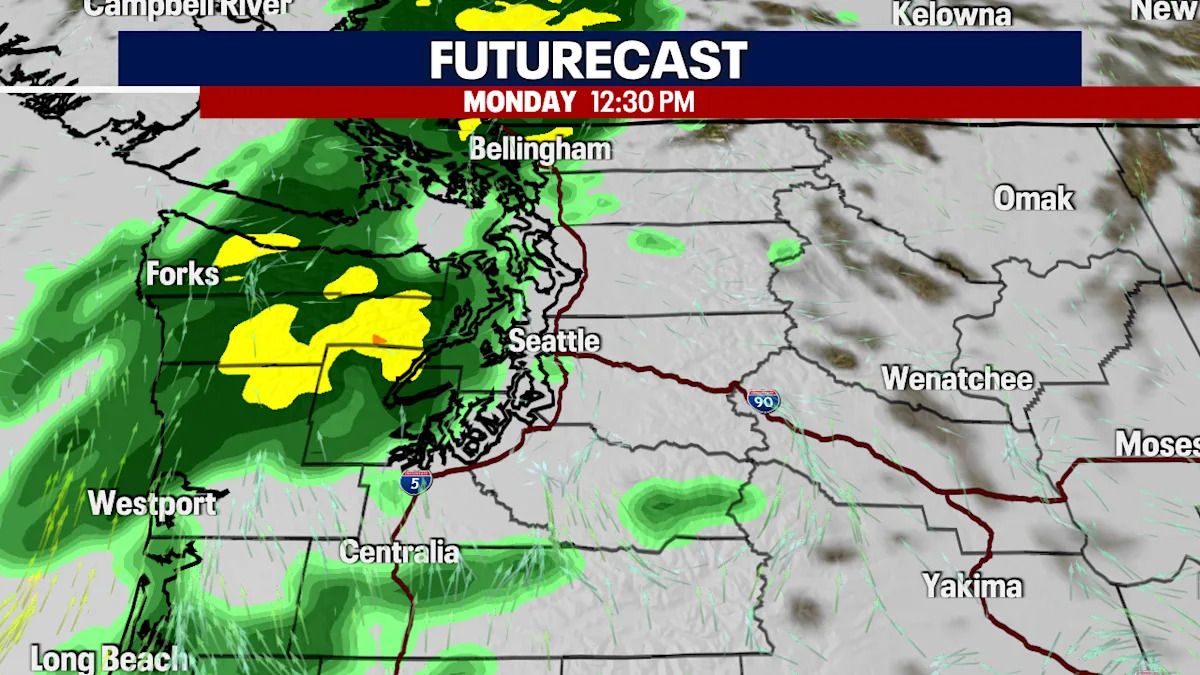
Seattle – After enjoying a quiet, mild pattern the last couple of weeks, a more typical Fall pattern will return beginning tomorrow. A cold front will arrive late Sunday into Monday, bringing showers to much of the region, including some much-needed rain to the Olympics and the Bear Gulch Fire.
A cold front will arrive on Sunday night, bringing some rain and breezy winds.
Breezy winds will arrive with Sunday night’s cold front. Wind gusts nearing 20 to around 35 mph will be possible.
Winds will be breezy with Sunday’s cold front. Gusts near 35 mph.
Rainfall totals with Sunday night’s cold front will bring the highest totals along the coast and near the border. Some of the interior lowlands may be a bit rain-shadowed at times, so lighter amounts will be possible along the I-5 corridor.
Rounds of rain will arrive beginning late Sunday night along the coast.
The quiet, mild pattern we’ve been enjoying will shift to a more typical cool, wet fall pattern. Rounds of rain will be possible through the week.
The quiet, mild pattern we’ve been enjoying will shift to a more typical cool, wet fall pattern.
Advertisement
Advertisement
Advertisement
Advertisement
Disclaimer: This news has been automatically collected from the source link above. Our website does not create, edit, or publish the content. All information, statements, and opinions expressed belong solely to the original publisher. We are not responsible or liable for the accuracy, reliability, or completeness of any news, nor for any statements, views, or claims made in the content. All rights remain with the respective source.
